Maintenance Connection Everywhere (MCe) · EAM/CMMS manuals
Layer Configuration
External Layer Selection
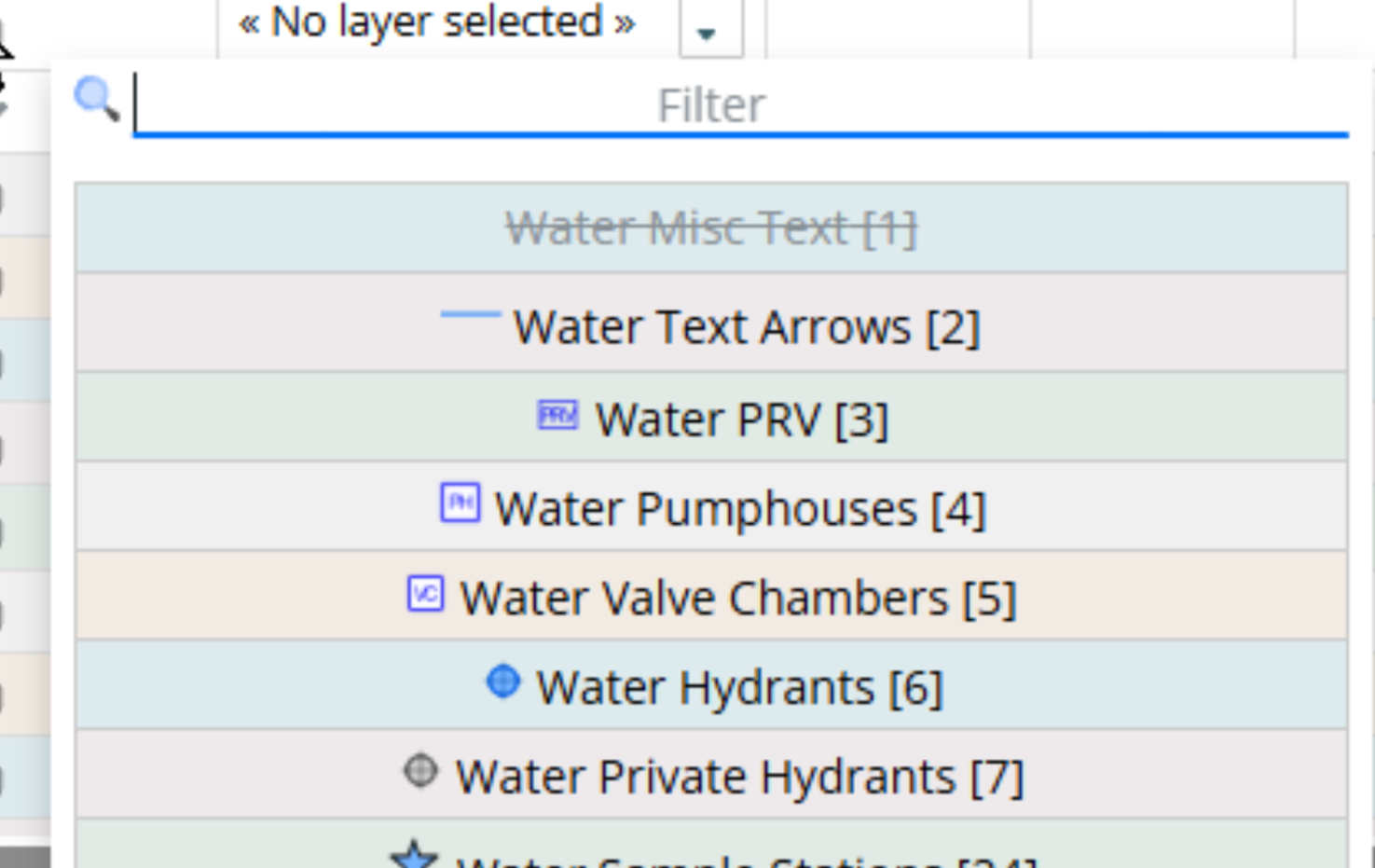
When mapping External layers to viewing layers in MCe you may see some layers that are greyed and crossed out such as the 'Water Misc Text' below. This means that the external source, such as ESRI/ArcGIS has in it's list of layers a layer type that is a type we do not (currently) handle. Note that the names are the names you/your GIS people gave the layer, so in the case below, there is something about the layer 'Water Misc Text' that means we can't read it in. You would go to the external source to determine what the underlying 'type' is that is causing the problem, or you may know and just not care, it has no reason to be in the CMMS, it just happens in the GIS to be part of that group.